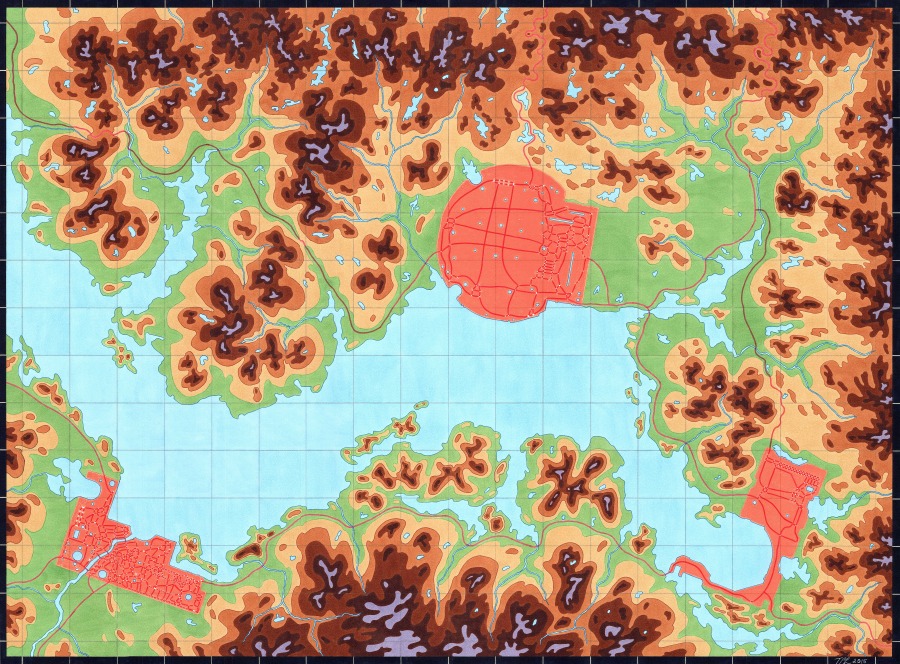
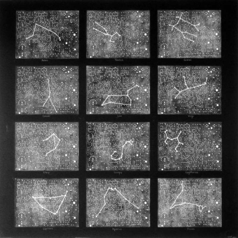
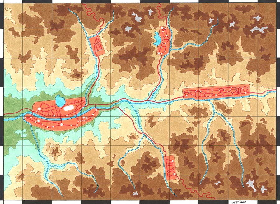
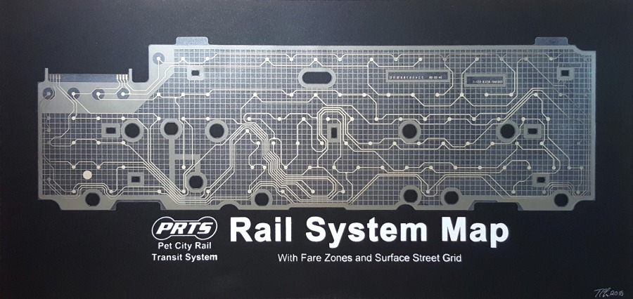
Maps
The starting point for these maps is found in the shapes and contours of printed circuit boards and other electronic components; by adding a topographic layer on top of them, they are transformed into maps. These electronic components can become topological maps, detailed city plans, sky maps, or nighttime satellite views; the transformation process consists of selecting and enlarging relevant details, letterpress printing entire circuit boards, and finalizing the map with drawing or painting. In the process, these works blur the boundaries between the man-made and the natural, reimagining the tiniest of engineered components as vast land/sky spaces.
-

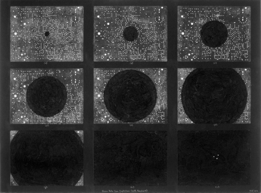
- Black Hole Sun Explosion (with Restart) 2012. Monoprints off circuit boards, oil stick, gouache on paper. 22×30″.
-

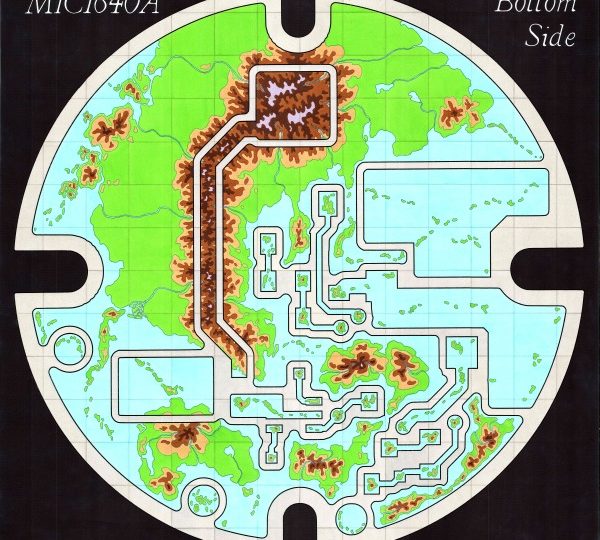
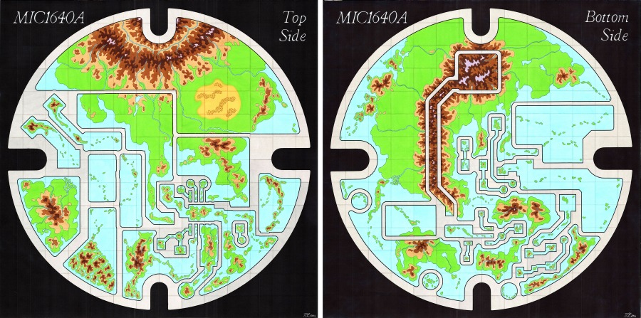
- Map of the Curiously Shaped, Two-Sided Flat World MIC1640A 2014. Ink markers on paper. 22×44″ (dyptich)
-

- Cities #3 2015. Monoprints off circuit boards, ink markers on paper. 22×30″.
-

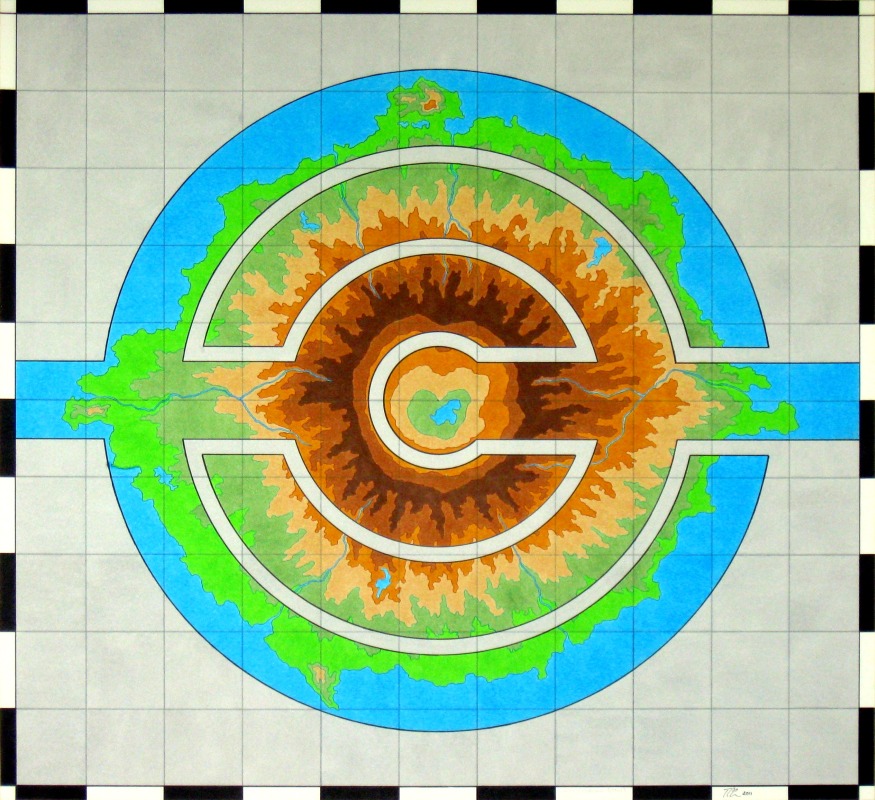
- Even Engineers Want to Know the Future 2010. Monoprints off circuit boards, gouache on paper. 32×32″.
-

- Cities in a Deep Valley 2011. Monoprints off circuit boards, ink markers on paper. 11×15″.
-

- PRTS Rail System Map 2016. Flexible circuit board, screenprint on paper. 9.5×19.5″
-

- Untitled (Volcanic Island) 2011. Ink markers on paper. 21.5×22″